IKE4 for ikeGPS
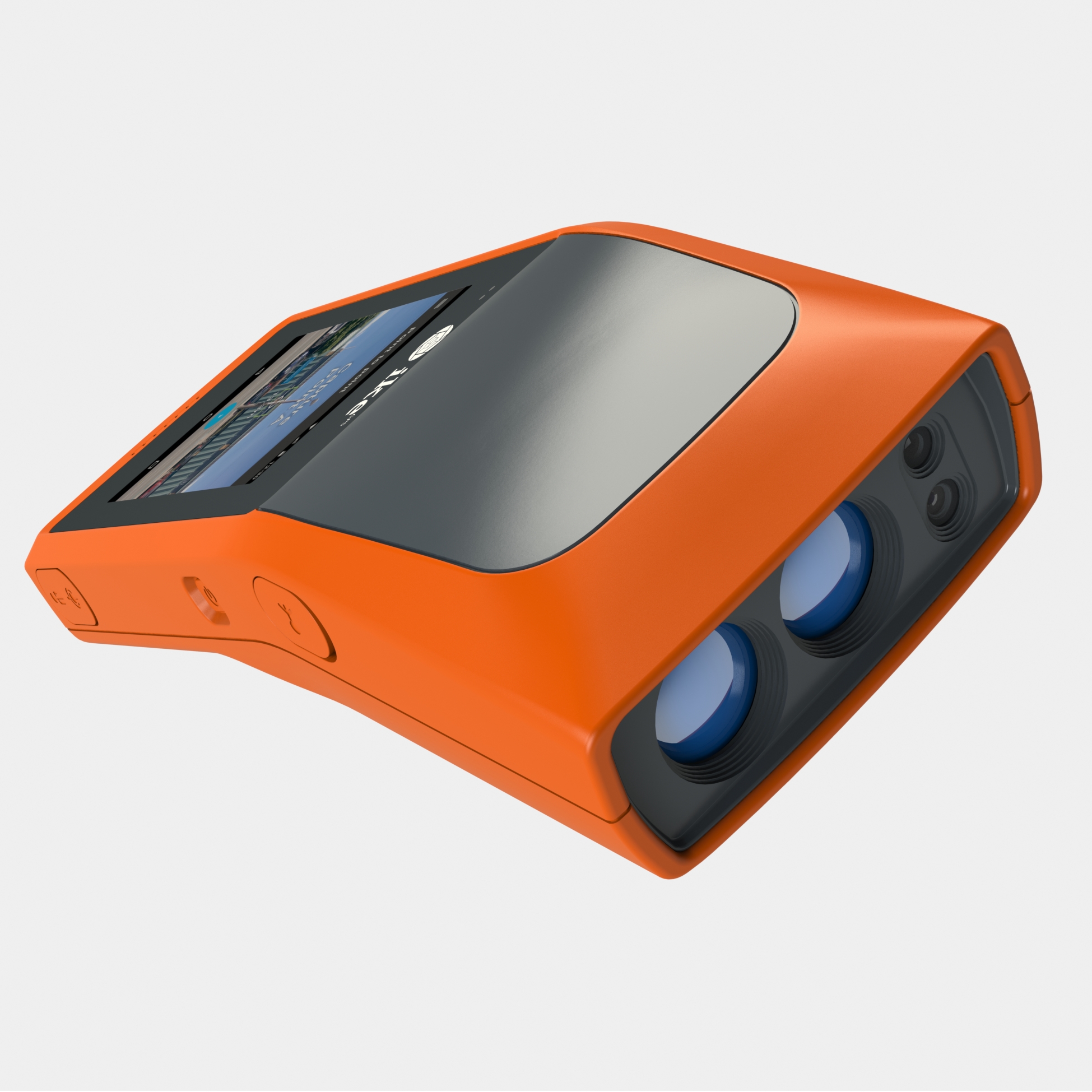
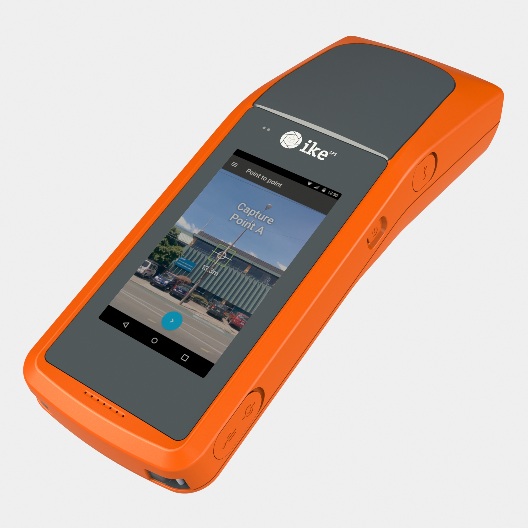
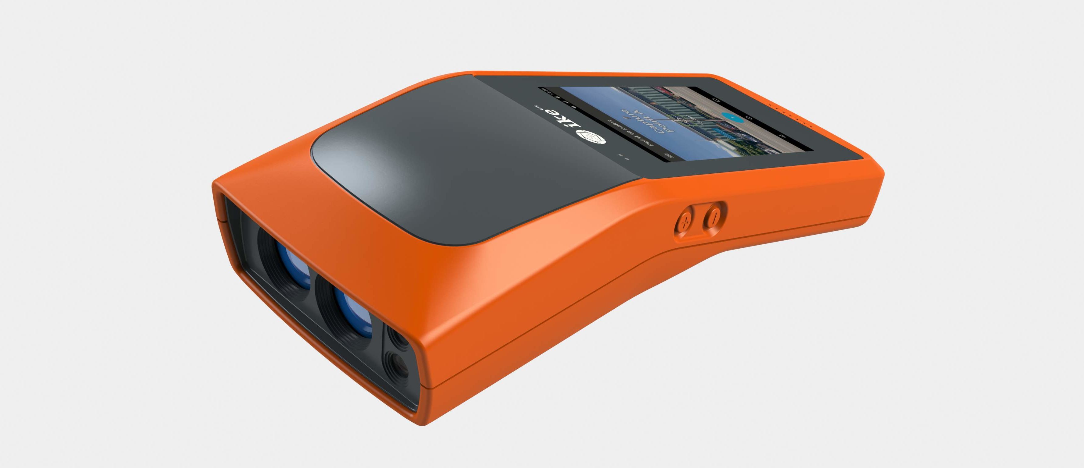
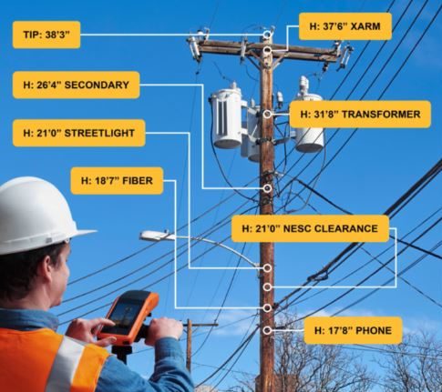
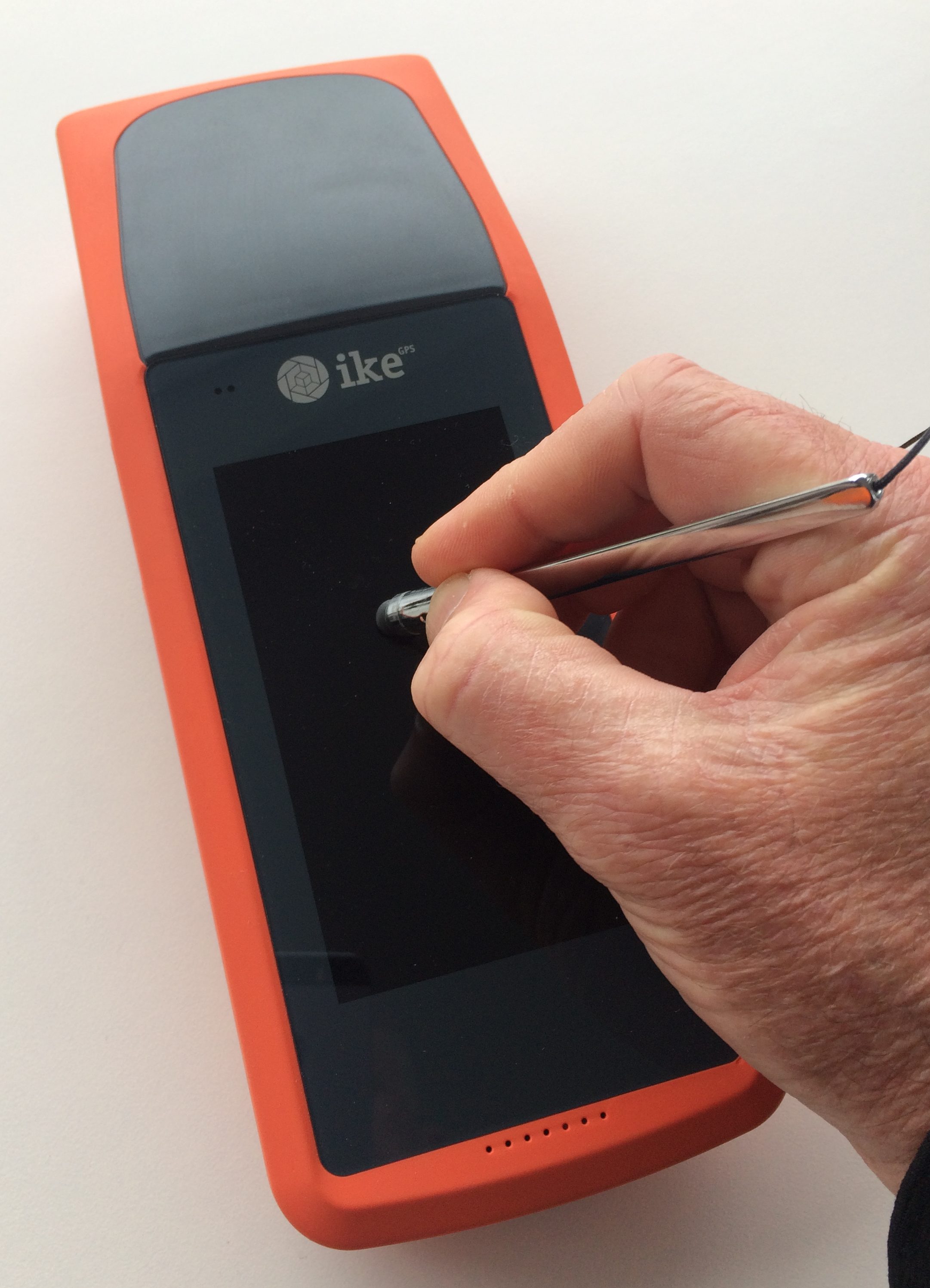
IKE4 uses cameras, laser and GPS sensors to collects data in the field allowing images to capture data and be interrogated at a later date for dimensional information. This data and information can be sent from the unit back by WiFi or Data links to the office for documentation or information updates. A high definition daylight Touch screen allowing easy entry to the customised software running on an android platform.
The new hardware design that utilizes the latest mobile technologies to produce a high-performance and low-power field device using Google’s Android mobile operating system. An Android app that contains specialized utility pole data collection and measurements tools for pole heights, wire spans, attachment, GPS location and other field data collection tools. Photos and data collected in the field are uploaded wirelessly to IKE Office. A cloud-based software service used to create and deploy custom data collection forms, measure heights of attachments from the photos captured by IKE Field, validate quality assurance and quality control processes, and store photos and corresponding data for long-term
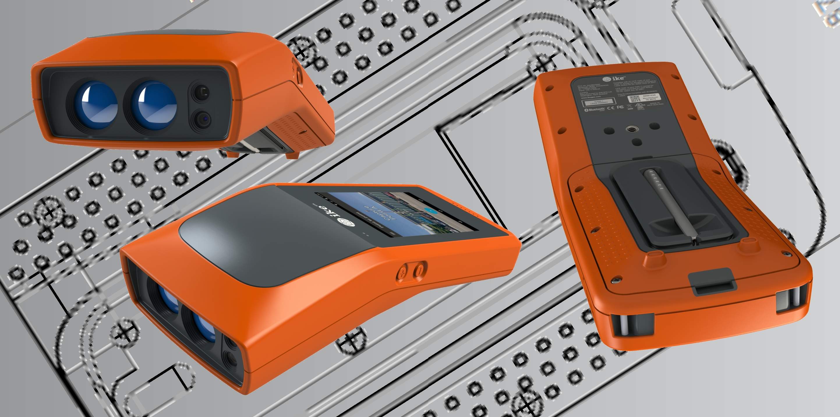
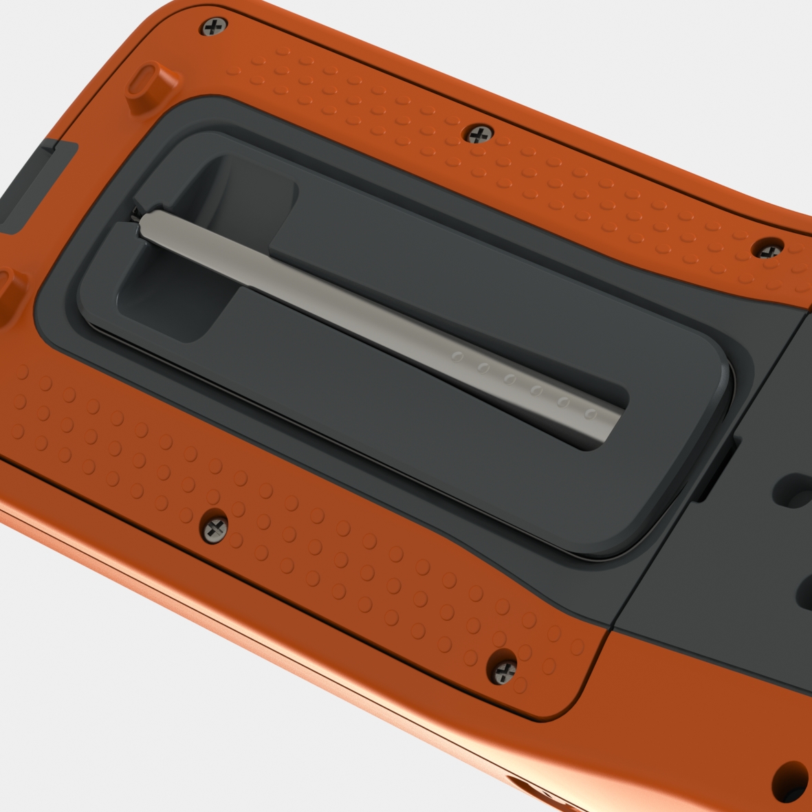
ikeGPS IKE4 with a co-moulded soft outer material protecting it from knocks and bumps in the field while at the same time giving a grippe feel while in the hand. The soft material was design to prevent water ingress and sealed the ports and openings.

IKE 4 was designed from the ground up to set the standard for measuring and locating utility poles for aerial fiber deployments, joint-use applications and construction of aerial outside plant.
Electric utilities, communications and engineering services companies can use the new IKE 4 solution for; OSP design and new attachment permitting, Pole replacement, new construction, post construction as-built audits, Regulatory compliance.